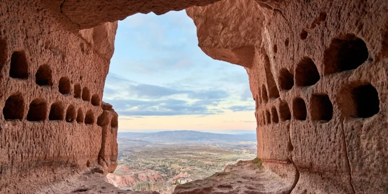
The mapping activities in Zelve provide an immersive experience, allowing participants to delve into the depths of history. As they navigate through the labyrinthine caves, they can witness firsthand the remarkable architectural achievements of past civilizations. The detailed maps guide them through hidden passageways and reveal hidden treasures such as ancient frescoes and inscriptions on cave walls. This interactive approach not only educates but also instills a sense of wonderment as visitors uncover the secrets buried within these ancient structures.
Beyond its historical significance, Zelve’s mapping activities offer a sense of liberation to those seeking freedom from their everyday routines. The exploration of these vast underground spaces provides an opportunity for individuals to break free from societal constraints and immerse themselves in nature’s embrace. The sheer beauty and serenity found within these caves create an atmosphere that fosters introspection and self-discovery. Whether it be by tracing the footsteps of those who came before or marveling at the natural wonders carved by time itself, Zelve’s mapping activities offer a transformative experience that satisfies both intellectual curiosity and the subconscious desire for freedom.
Description
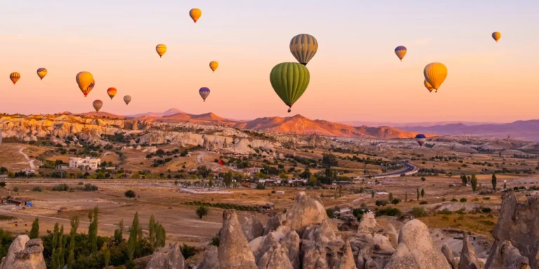
The description of the mapping activities in Cappadocia showcases the intricate and fascinating process of visually documenting the unique geological formations and cultural landmarks, leaving viewers captivated by the sheer beauty and historical significance of this remarkable region. Cappadocia is renowned for its stunning landscape, characterized by towering rock formations known as “fairy chimneys,”ancient cave dwellings, and underground cities. Mapping activities aim to capture these features with precision, allowing for a comprehensive understanding of the region’s topography and archaeological sites.
These mapping activities involve advanced techniques such as aerial photography, LiDAR scanning, and satellite imagery analysis. Aerial photography provides a bird’s-eye view of Cappadocia’s expansive valleys and rock formations, revealing their intricate details from an elevated perspective. LiDAR scanning utilizes laser technology to create highly accurate 3D models of the landscape, enabling researchers to explore hidden caves and tunnels beneath the surface. Satellite imagery analysis complements these methods by providing a broader overview of the entire region.
Through these mapping activities, researchers not only document Cappadocia’s natural wonders but also shed light on its rich cultural heritage. The region is dotted with numerous historic sites such as Byzantine churches adorned with well-preserved frescoes depicting biblical scenes. Mapping allows for detailed documentation and preservation of these fragile artworks, ensuring they can be studied and appreciated for generations to come.
Mapping activities in Cappadocia serve as a gateway to exploring this extraordinary region in all its glory. By employing advanced techniques like aerial photography, LiDAR scanning, and satellite imagery analysis, researchers can provide an accurate representation of Cappadocia’s geological formations and cultural landmarks. This objective documentation preserves the history and beauty of this remarkable place while satisfying our subconscious desire for freedom through knowledge discovery . By using imagery analysis, researchers can also uncover hidden details and patterns within the landscape of Cappadocia, shedding light on its ancient civilizations and their way of life. This knowledge discovery not only deepens our understanding of the region’s rich history but also fulfills our innate curiosity about the world and our place within it.